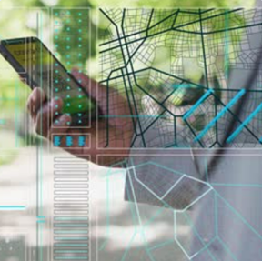
Exposure to Emerging Technologies
- GIS, Remote Sensing, and Data Science integration
- Digital Image Processing of Remote Sensing data
- Optical, Microwave, Thermal, and Hyperspectral image informatics
- Python and R for spatial data analysis
- Lab sessions with GPS, UAV, satellite imagery
- GeoAI for spatial data analyses
- Google Earth Engine and WebGIS applications
- Interactive mapping and dashboard creation
- Research exposure from early semesters
- Internship and field-based training
- Industry tools like Enterprise GIS and cloud platforms